Our Services
We work with project owners, developers, government agencies, design engineers, and contractors to ensure successful project completion across the construction value chain. Clients requiring geotechnical, surveying and environmental services often engage us during the study and design stages, while clients requiring material testing, special studies, and environmental services engage us during the project’s execution, maintenance and decommissioning stages. Our commitment to our clients remains our top priority regardless of the project stage
Drilling Services
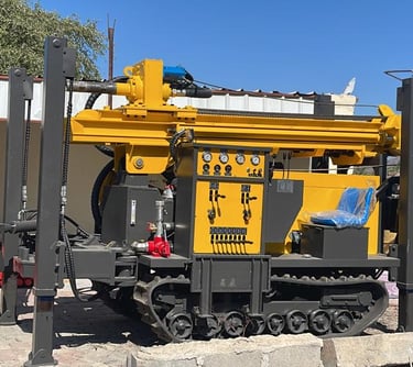
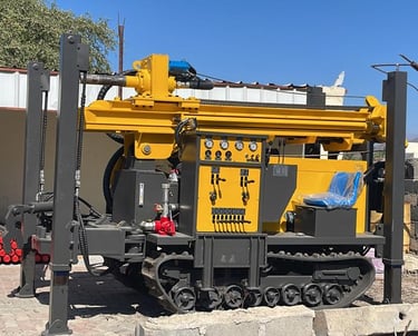
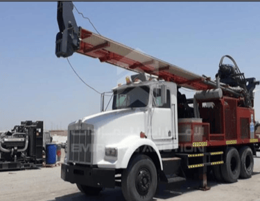
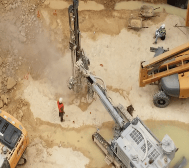
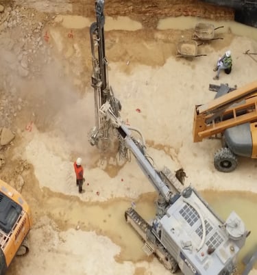
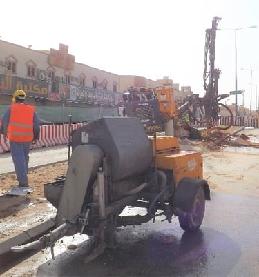
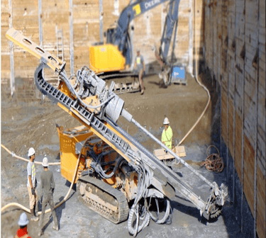
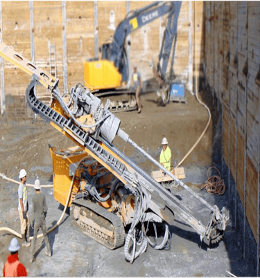
ZAHRA GEOSCIENCES knows drilling. We're independent and specialists. Water well, Geotechnical and environmental drilling are our forte. We undertake drilling for geotechnical investigations for bulk earthworks projects, complex commercial developments, large-scale groundwater monitoring systems and earthing works. With available drilling rigs, we can meet your geotechnical investigation, sampling, and groundwater monitoring needs.
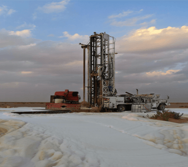
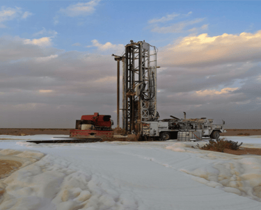
Water Well Drilling, Groundwater monitoring systems & Geothermal Drilling
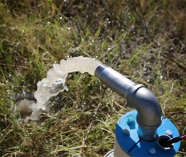
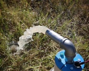
Well Pump Installation & Maintenance
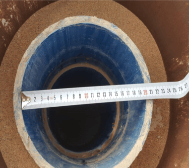
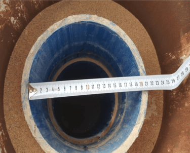
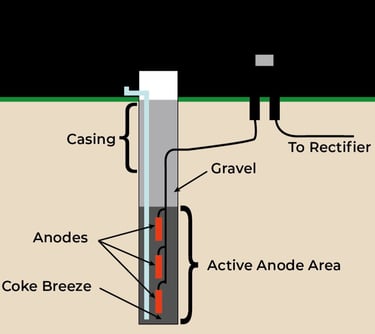
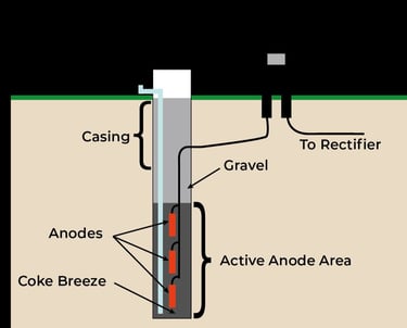
Drilling for Anode Installation & Coke Breeze
Well Installation & Maintenance

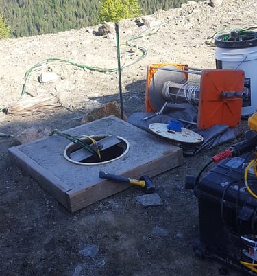
Site Investigation and Field Tests
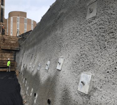
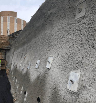
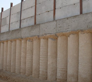
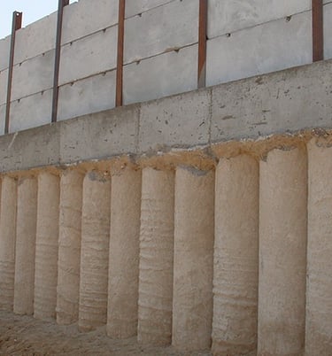
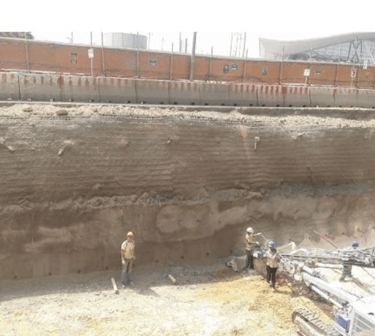
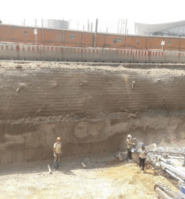
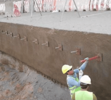
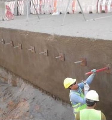
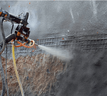
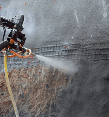
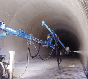
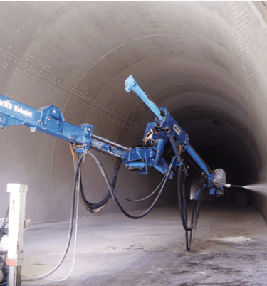
Cavity probing, Shoring System, Driving of Nails, Shotcreting & Grouting

Surveys
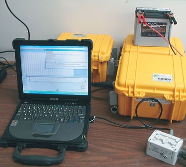
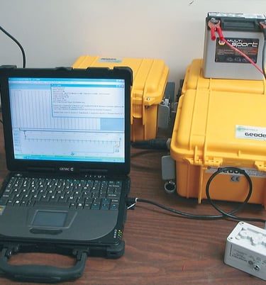
Geophysical Surveys


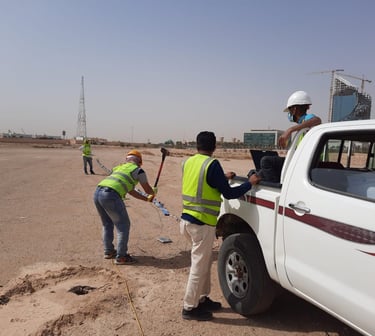
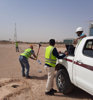
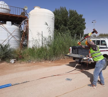
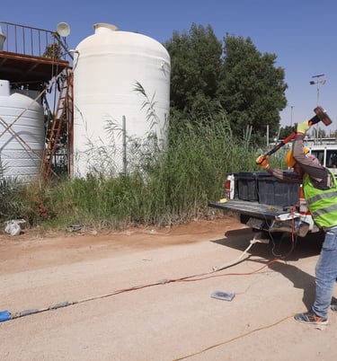
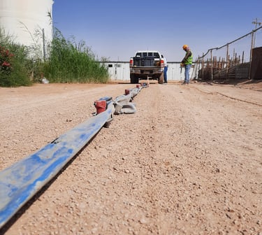
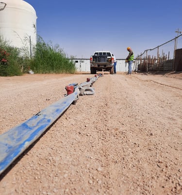
MASW - Multichannel Analysis of Surface Waves Surveys
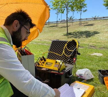
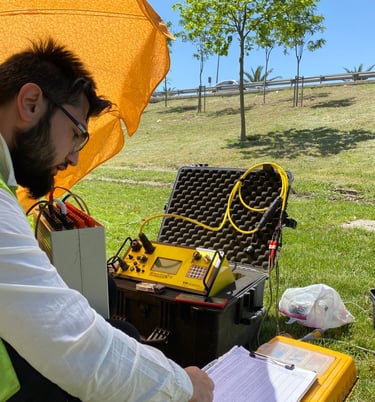
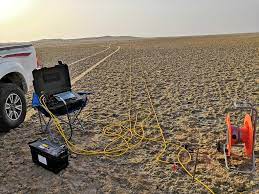

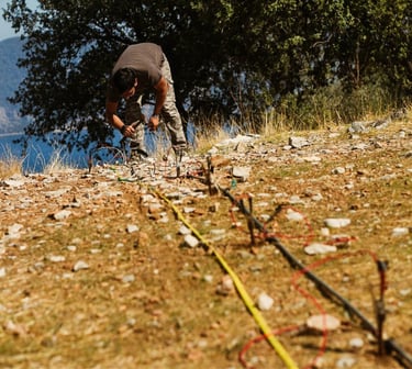
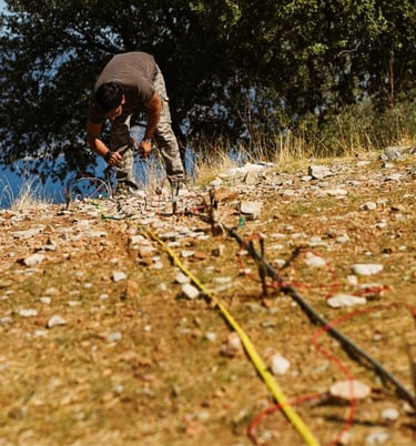
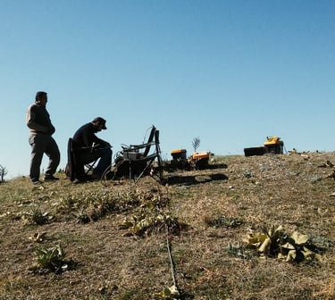
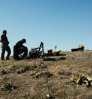
ERT - Electrical Resistivity Tomography Survey
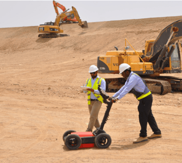
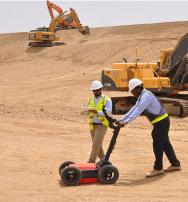
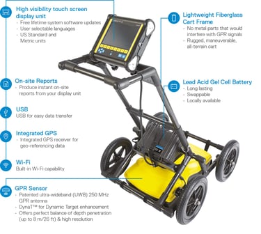
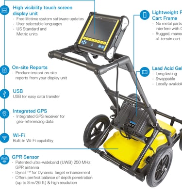
GPR - Ground Penetration Radar Survey
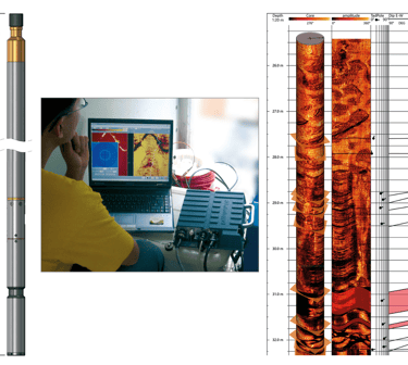
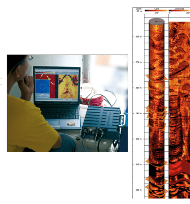
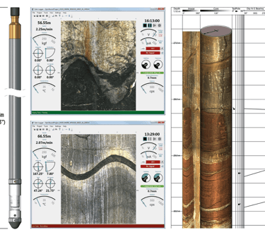
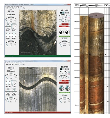
PS & TV Logging (Hi-OPTV & HRAT)
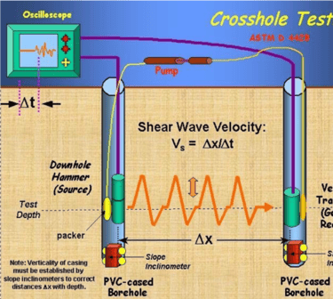
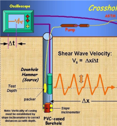
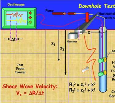
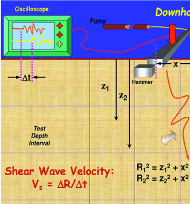
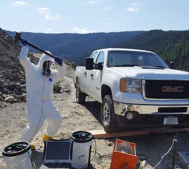
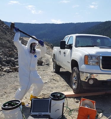
Crosshole & Downhole Seismic Survey
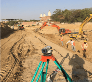
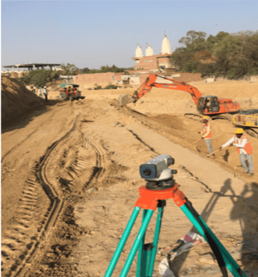
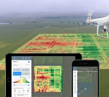
Land Survey
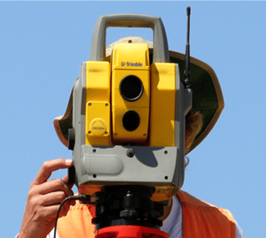
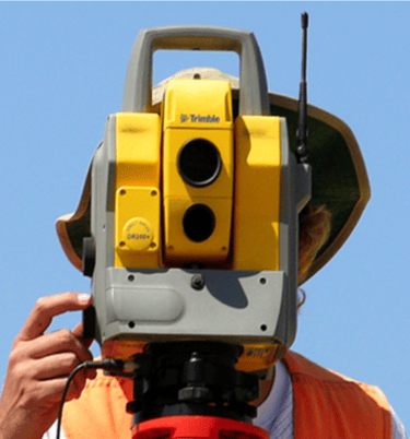
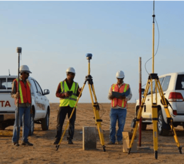
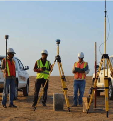
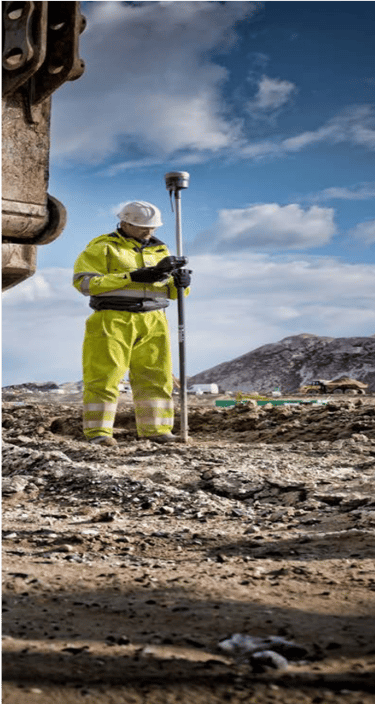
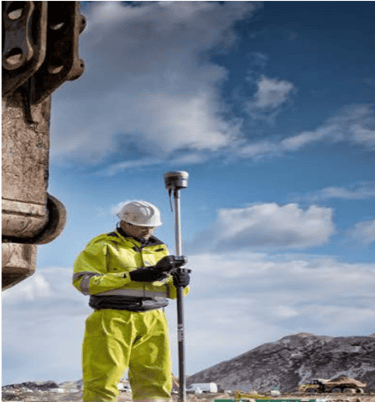
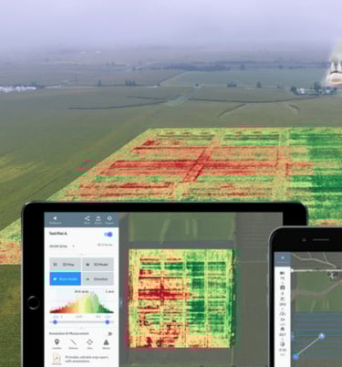
GIS - Geographical Information Survey, Topographic Survey, Drone Survey and Mapping, Route Surveys (Roads, Pipeline, Commercial & Residential Project), Control and Construction Survey, Production of Drawings


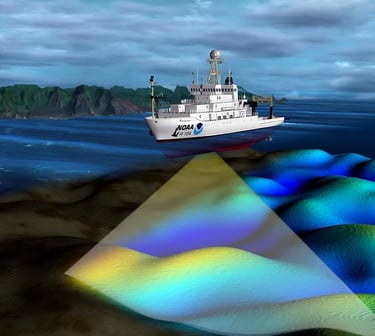
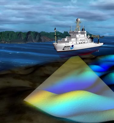
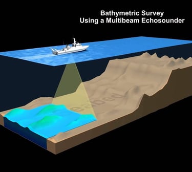
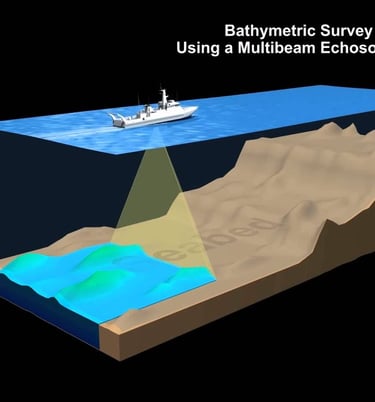
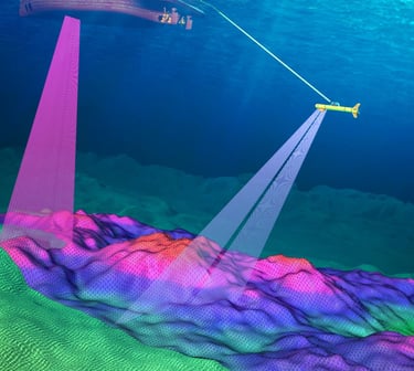
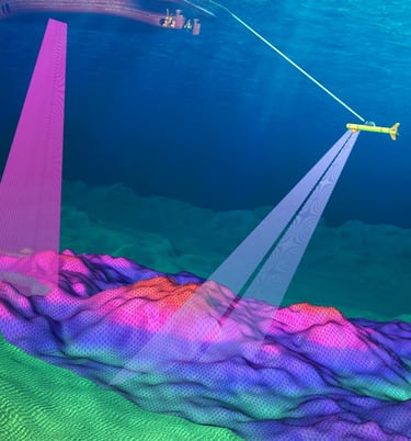
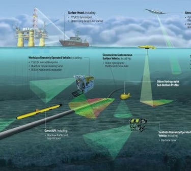
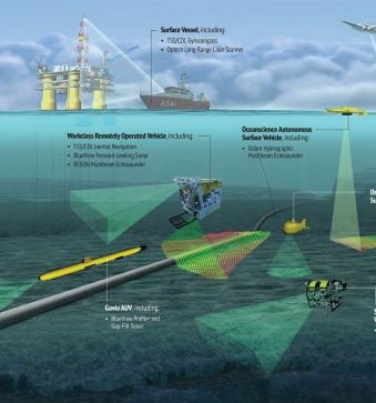
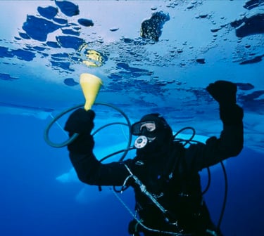
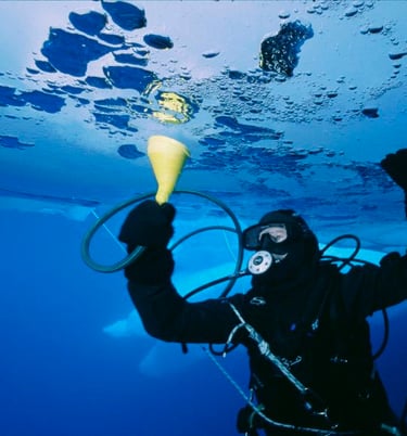
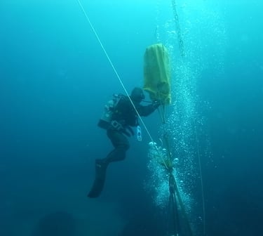
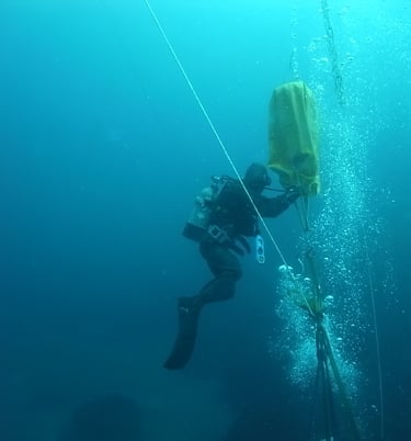
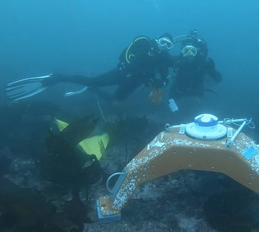
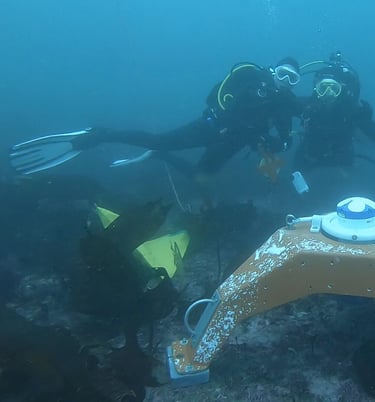
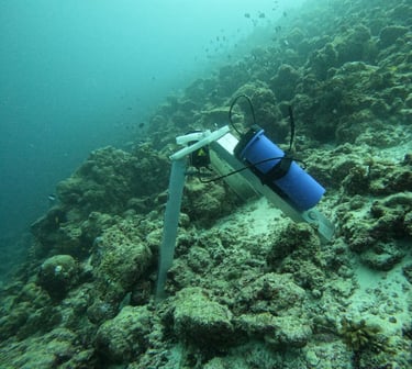
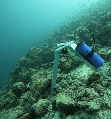
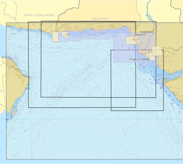
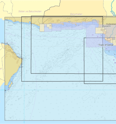
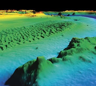
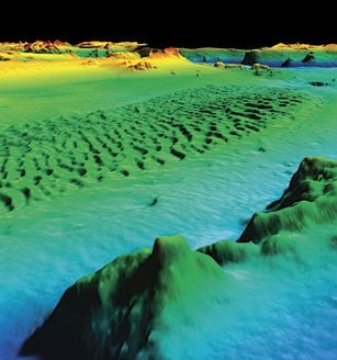
Marine Survey and Services
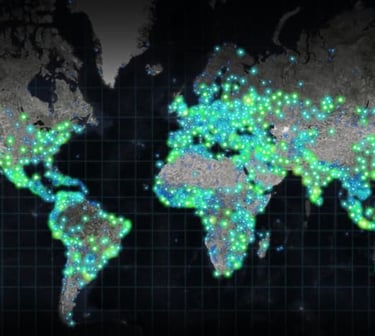
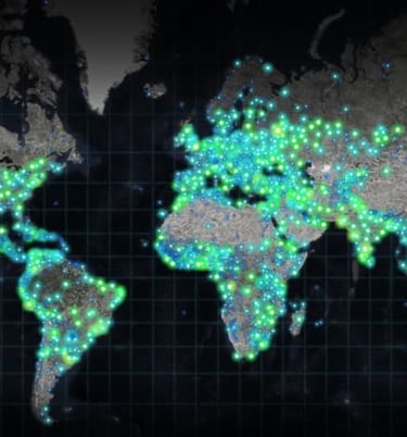
GIS Cartography
A geographic information system, or GIS, is a computer-based conceptualized framework used for organizing and analyzing data related to positions on Earth's surface. By organizing data spatially along with tabular data (also referred to as attribute data), GIS can increase our understanding of the ocean.
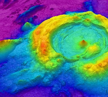
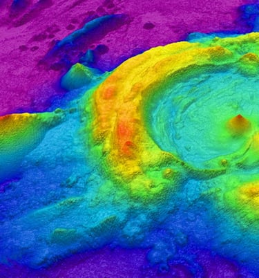
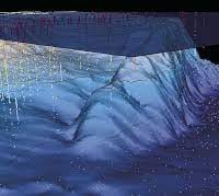
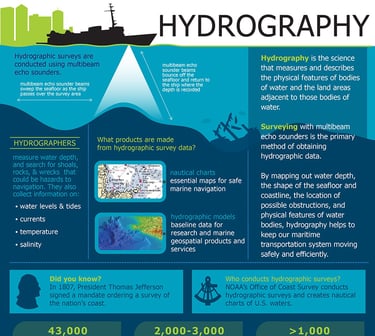
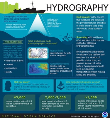
Hydrography and Oceanography
Hydrography is the science that measures and describes the physical features of the navigable portion of the Earth's surface and adjoining coastal areas